Hong Kong Geopark Logo


Geopark's Selection


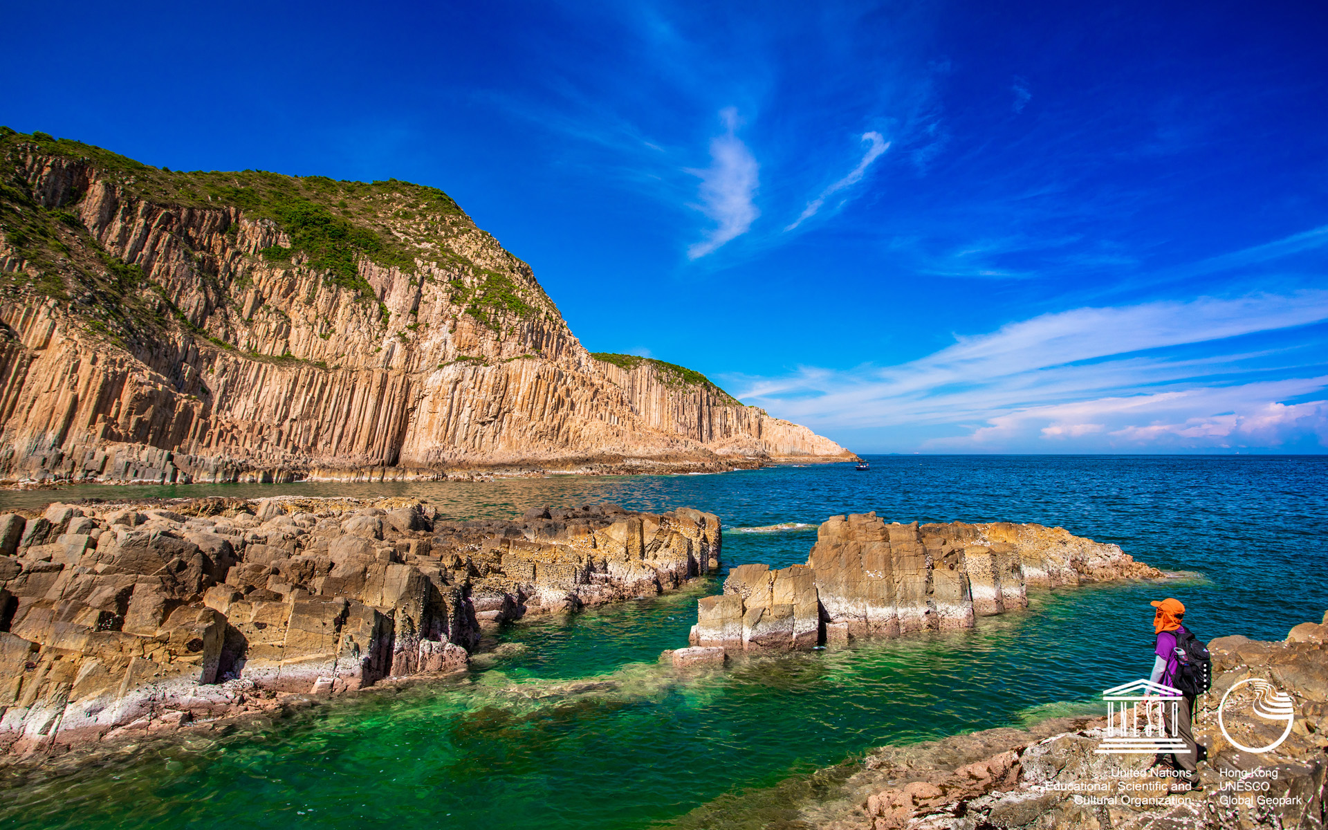
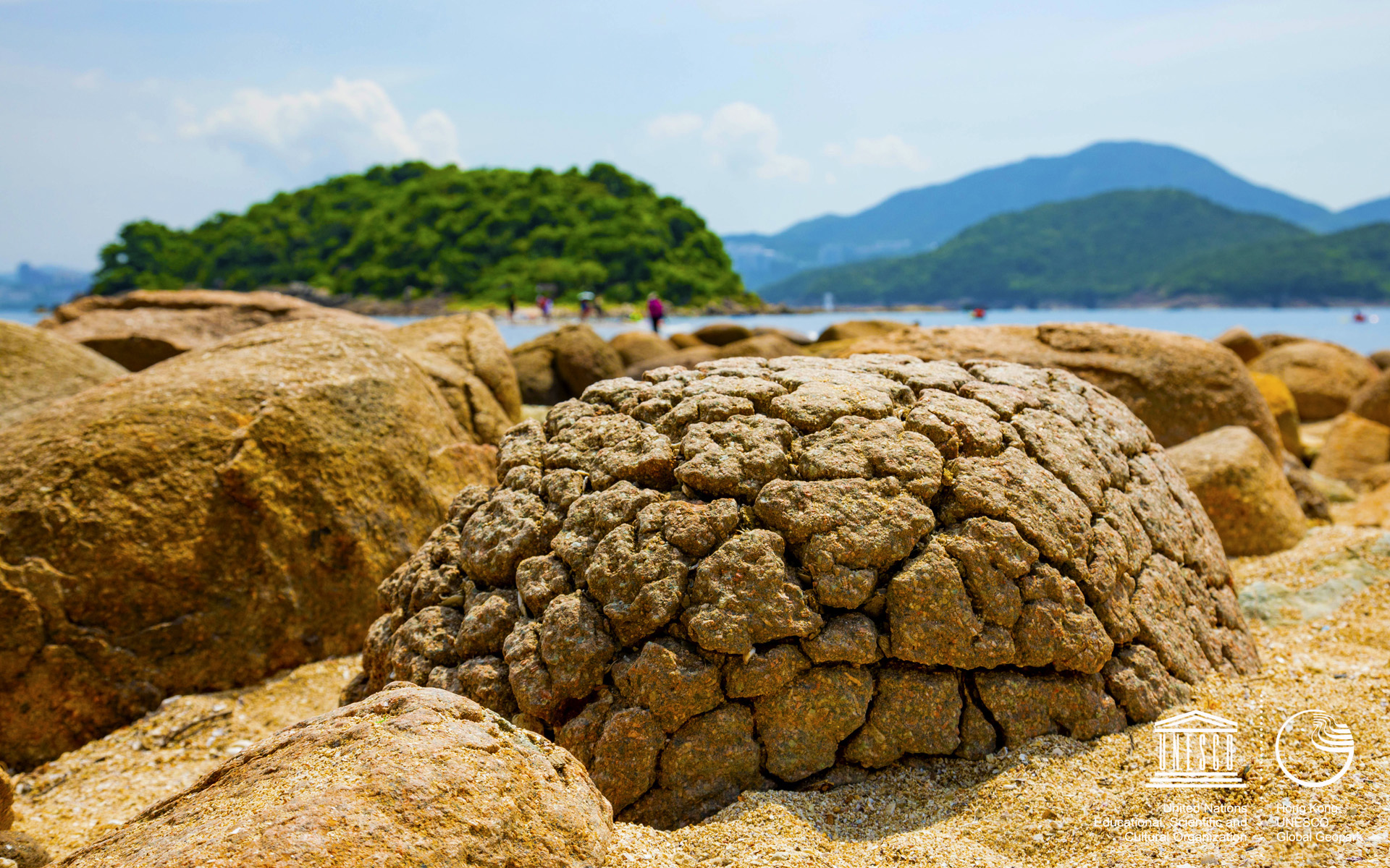
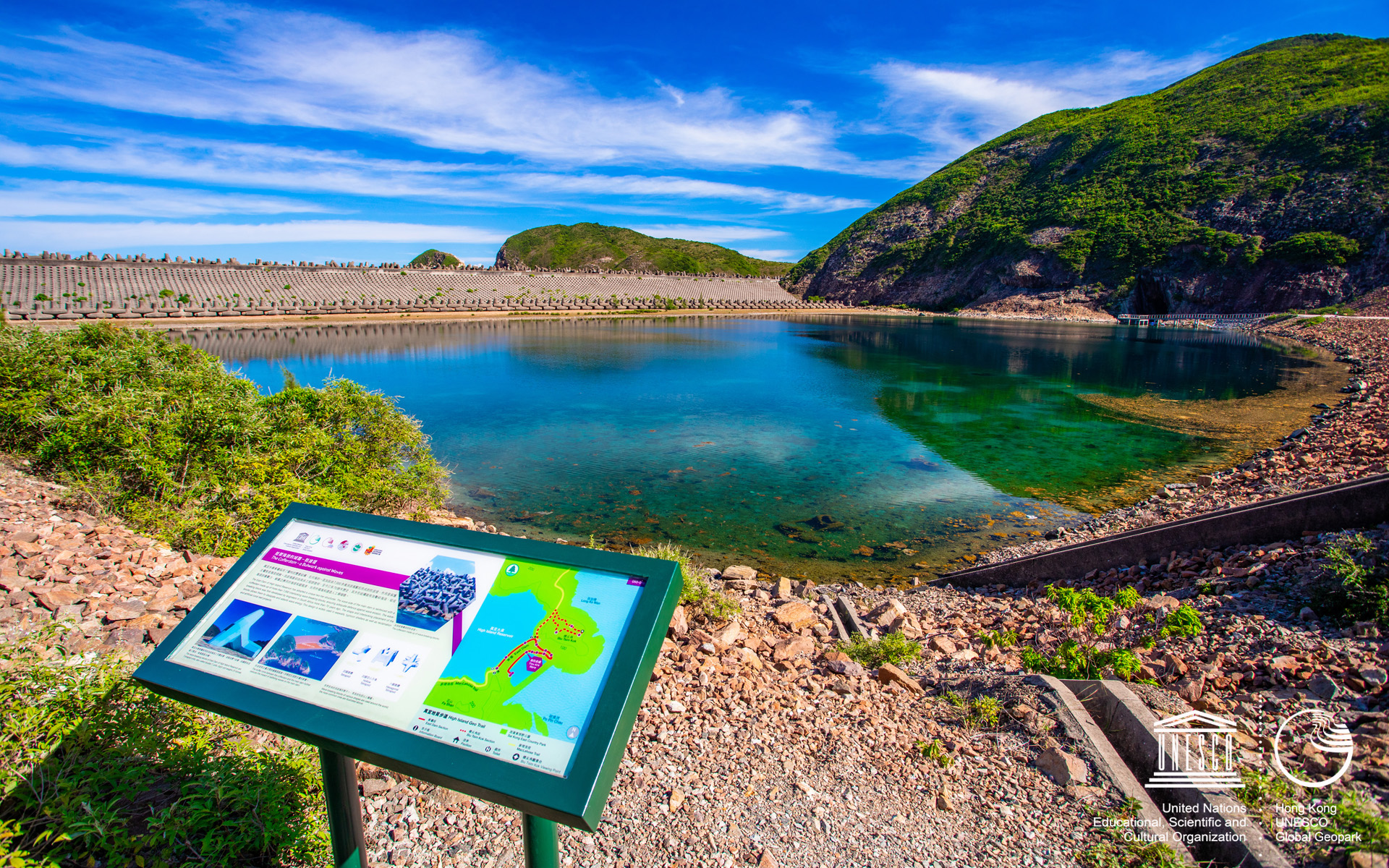
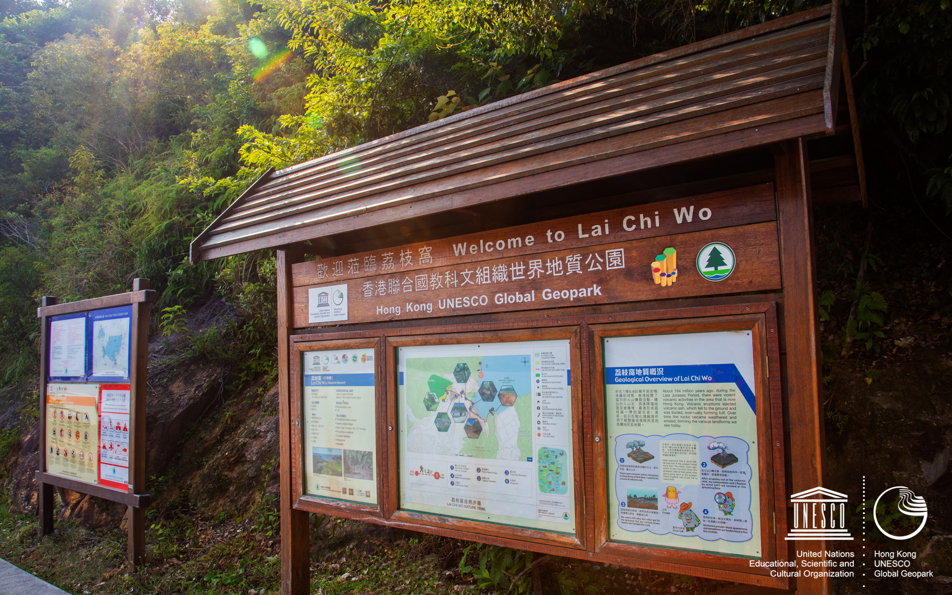
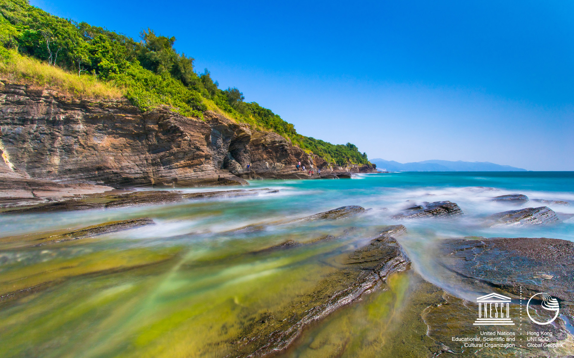
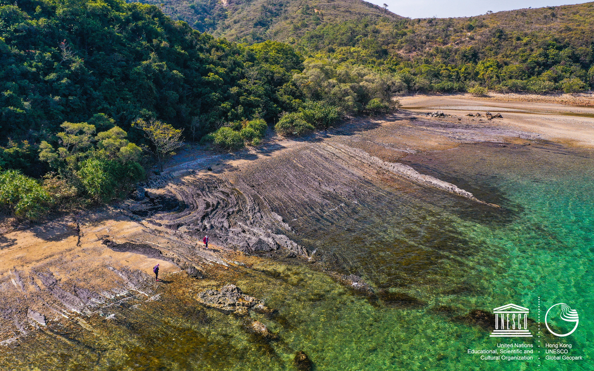
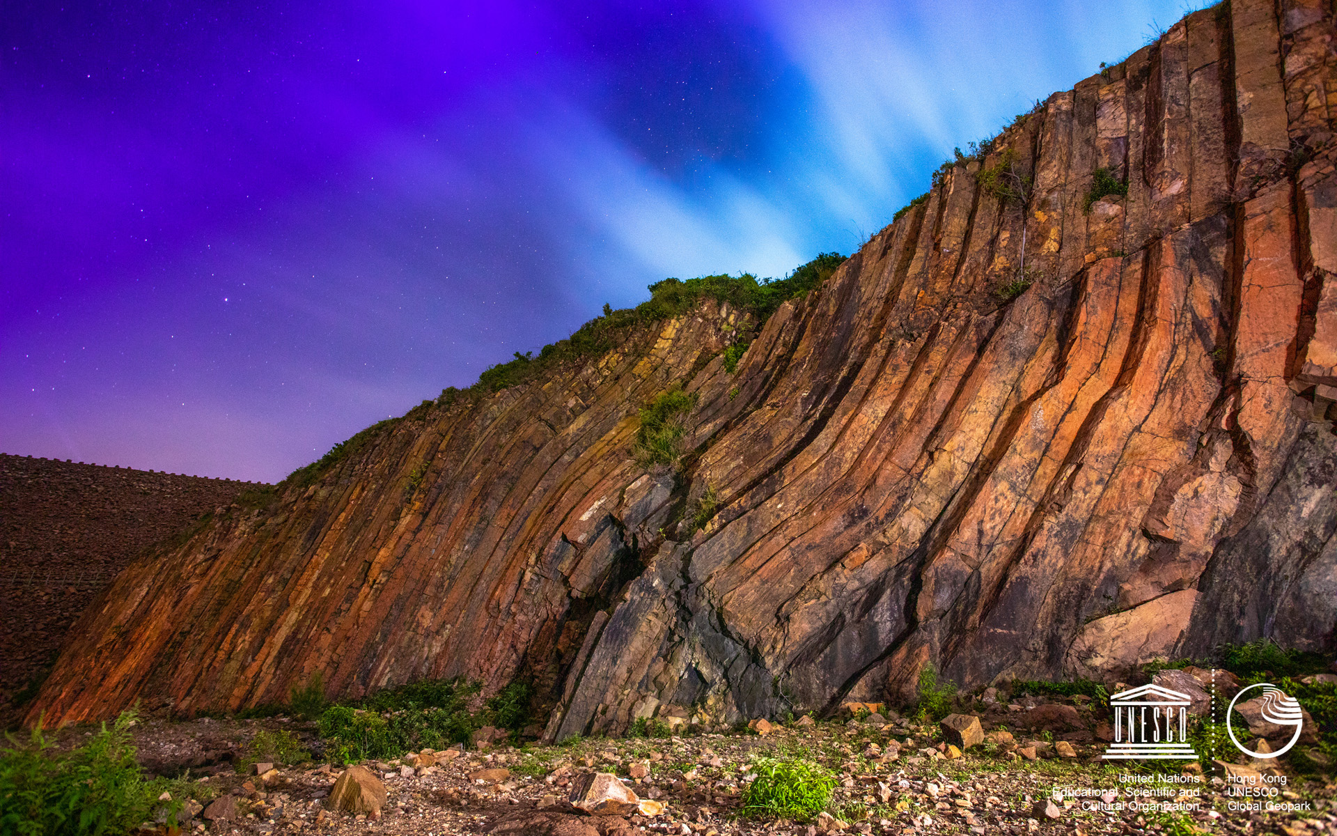
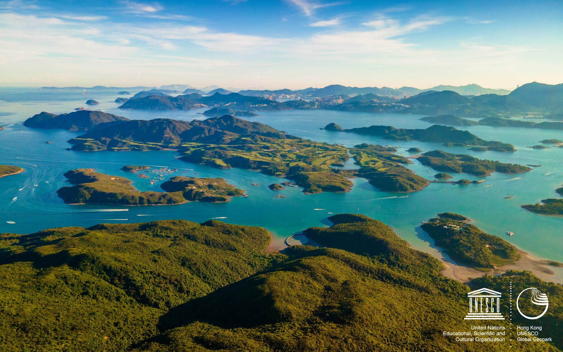
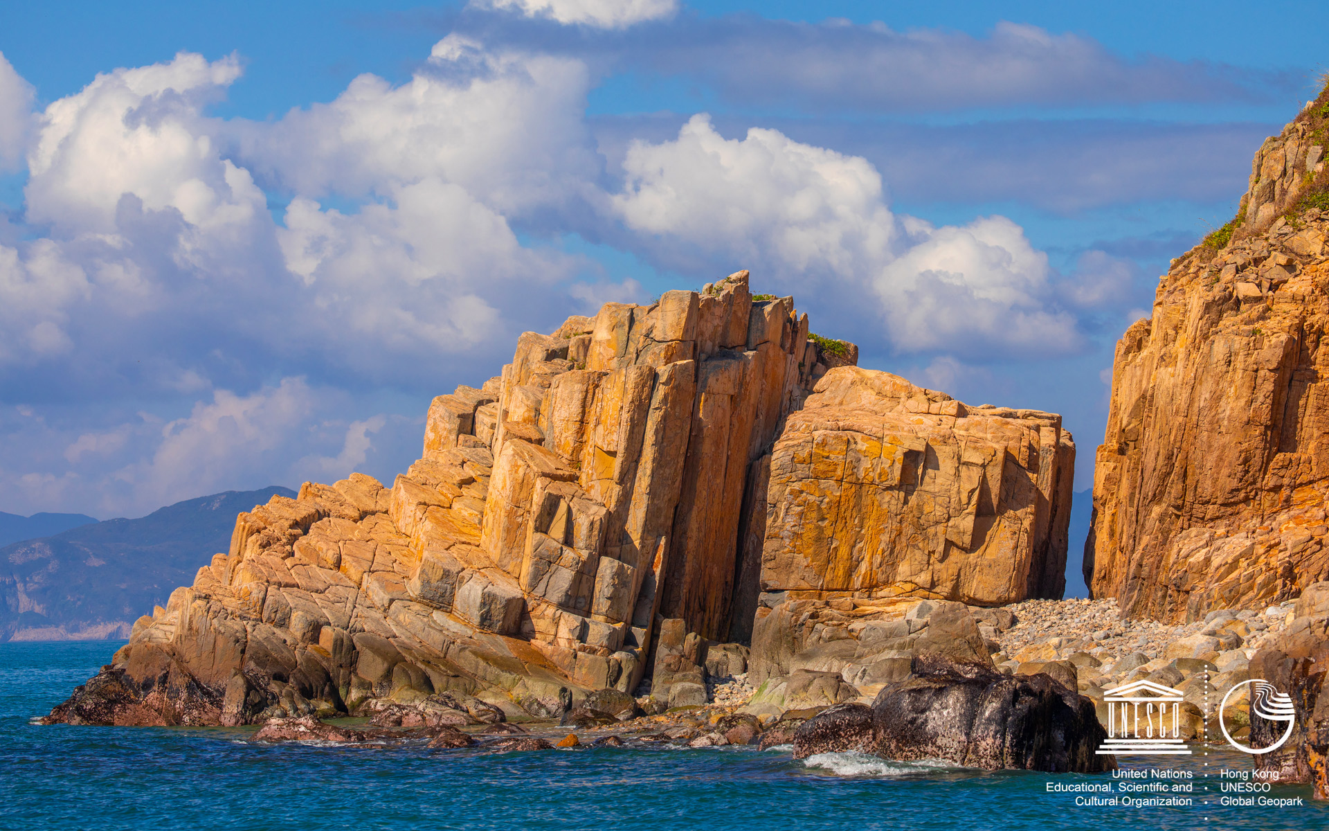
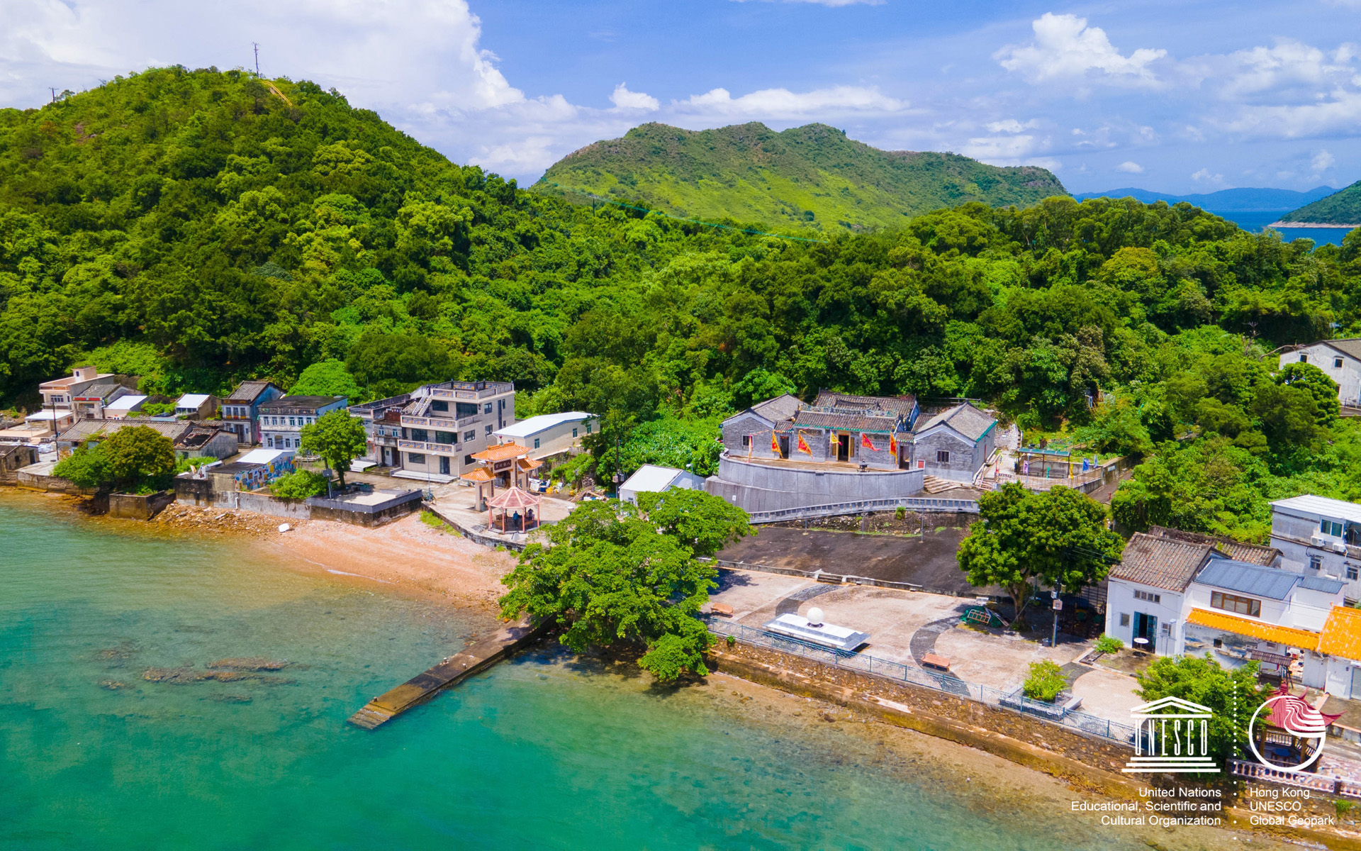
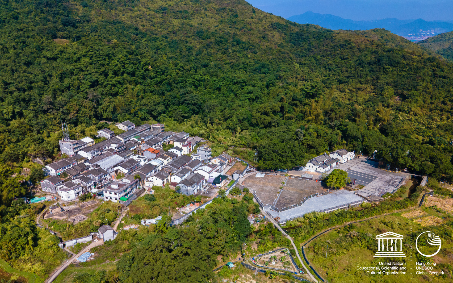
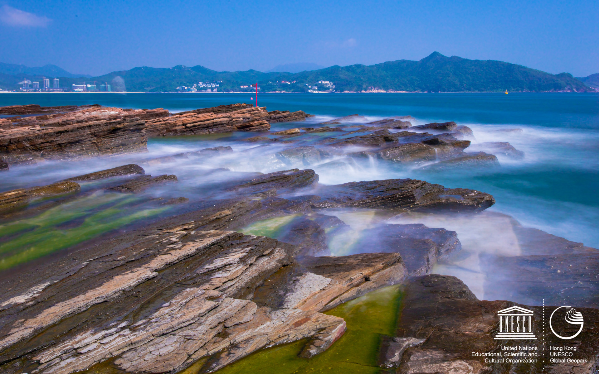
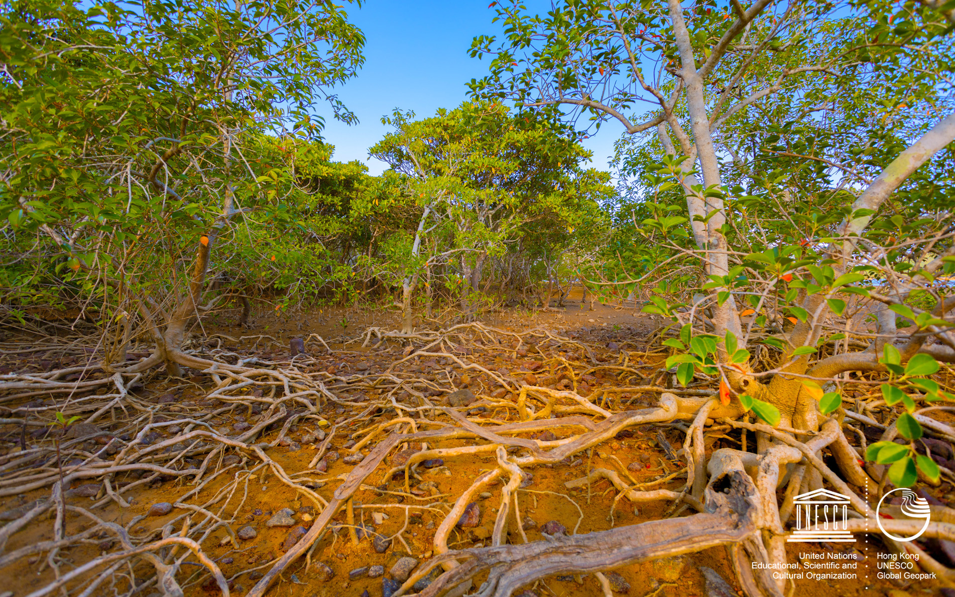
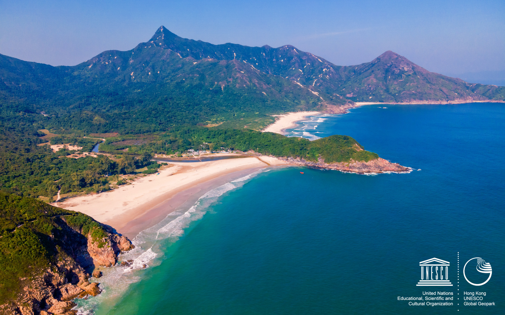
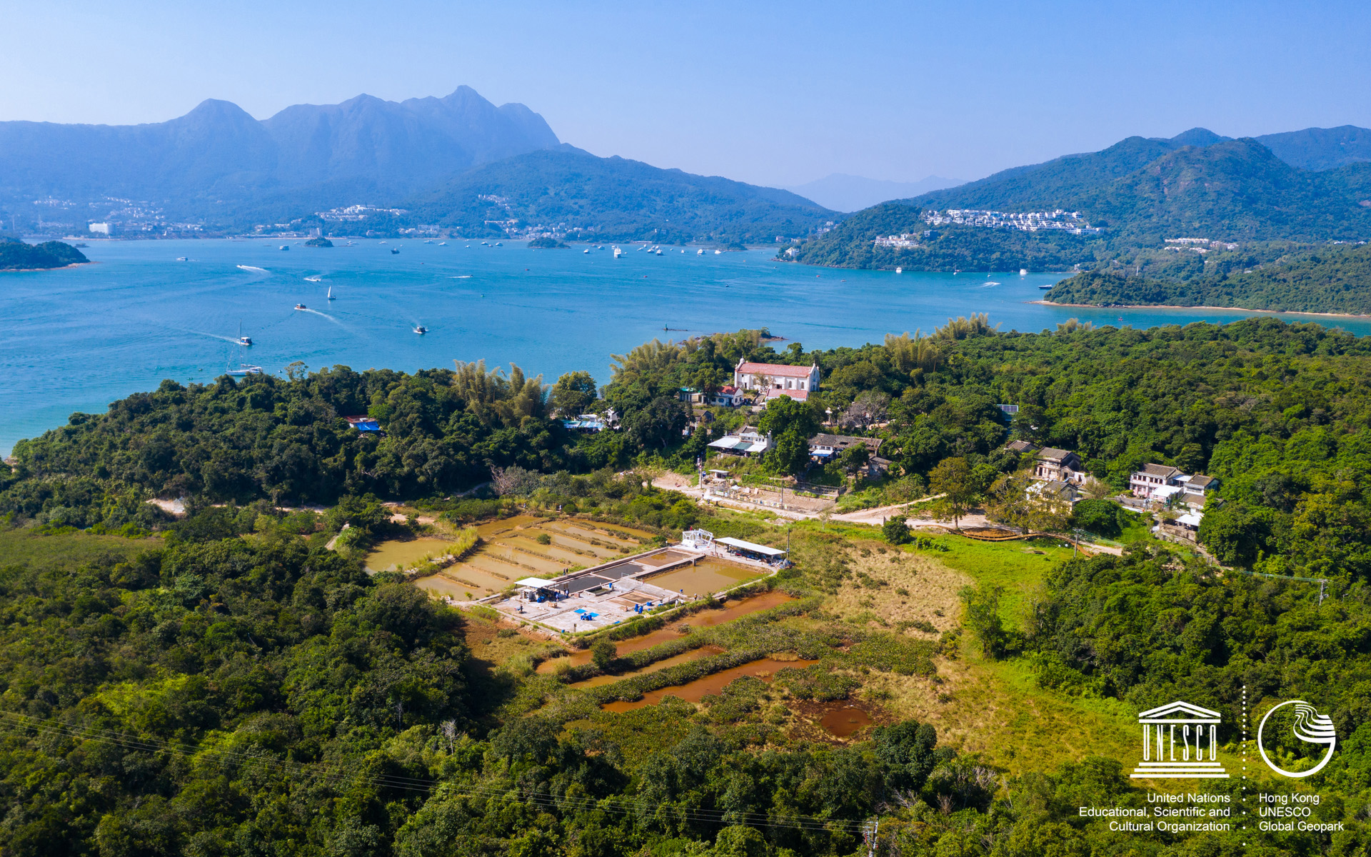
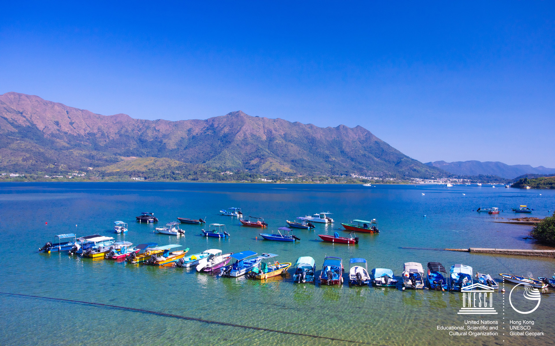
More than 40% of Hong Kong's land is designated as a protected area, and there are abundant natural resources outside the urban area with tall buildings. With proper management and protection, Hong Kong Geopark fosters an abundant of flora a nd fauna with its diverse habitats, which include wetlands, grasslands, woodlands, seashores and farmlands.

Fa Shan 【Fa Shan】 Download 1920x1200
Sharp Island 【Sharp Island】 Download 1920x1200
High Island 【High Island】 Download 1920x1200
Information 【Information】 Download 1920x1200
Tung Ping Chau 【Tung Ping Chau】 Download 1920x1200
Lai Chi Chong 【Lai Chi Chong】 Download 1920x1200
East Dam 【East Dam】 Download 1920x1200
Kau Sai Chau 【Kau Sai Chau】 Download 1920x1200
North Ninepin 【North Ninepin】 Download 1920x1200
Hung Shing Temple 【Hung Shing Temple】 Download 1920x1200
Bride's Pool 【Bride's Pool】 Download 1920x1200
Ap Chau 【Ap Chau】 Download 1920x1200
Lai Chi Wo 【Lai Chi Wo】 Download 1920x1200
Tung Ping Chau 【Tung Ping Chau】 Download 1920x1200
Muk Min Cave 【Muk Min Cave】 Download 1920x1200
Lai Chi Wo 【Lai Chi Wo】 Download 1920x1200
Ninepin Group 【Ninepin Group】 Download 1920x1200
Bluff Head 【Bluff Head】 Download 1920x1200
Tai Mong Tsai 【Tai Mong Tsai】 Download 1920x1200
Port Island 【Port Island】 Download 1920x1200
Ma Shi Chau 【Ma Shi Chau】 Download 1920x1200
High Island 【High Island】 Download 1920x1200
Tai Long Wan 【Tai Long Wan】 Download 1920x1200
Hung Shek Mun 【Hung Shek Mun】 Download 1920x1200
Yim Tin Tsai 【Yim Tin Tsai】 Download 1920x1200
Sam Mun Tsai 【Sam Mun Tsai】 Download 1920x1200
Fa Shan Sunrise 【Fa Shan Sunrise】 Download 1920x1200


Enjoy Your Geopark Journey.


Brand Hong Kong          Web Content Accessibility Guidelines 2.0        OGCIO - Web Accessibility Recognition Scheme


| Disclaimer | Copyright Notice | Use of Photos | Web Accessibility Conformance | Privacy Policy | Site Map |
Last Review Date : 1 July 2021