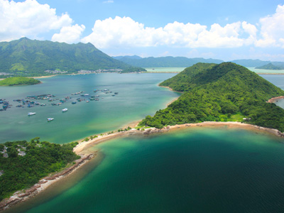
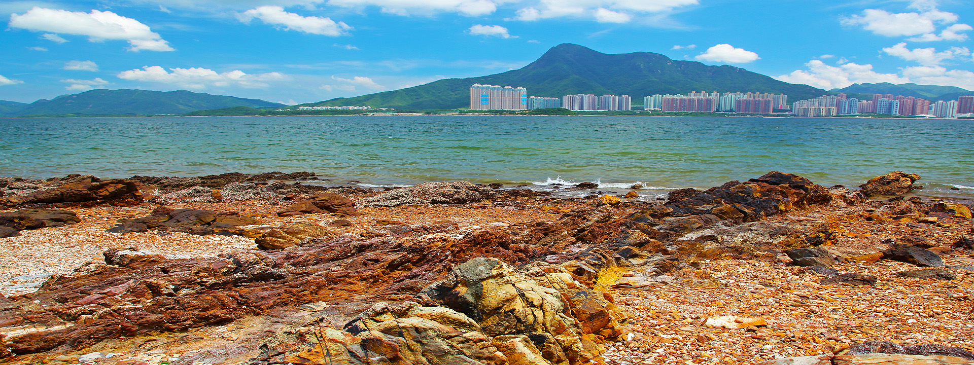
Ma Shi Chau
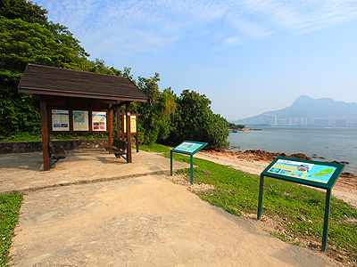
Geo Gallery (Half-day course)
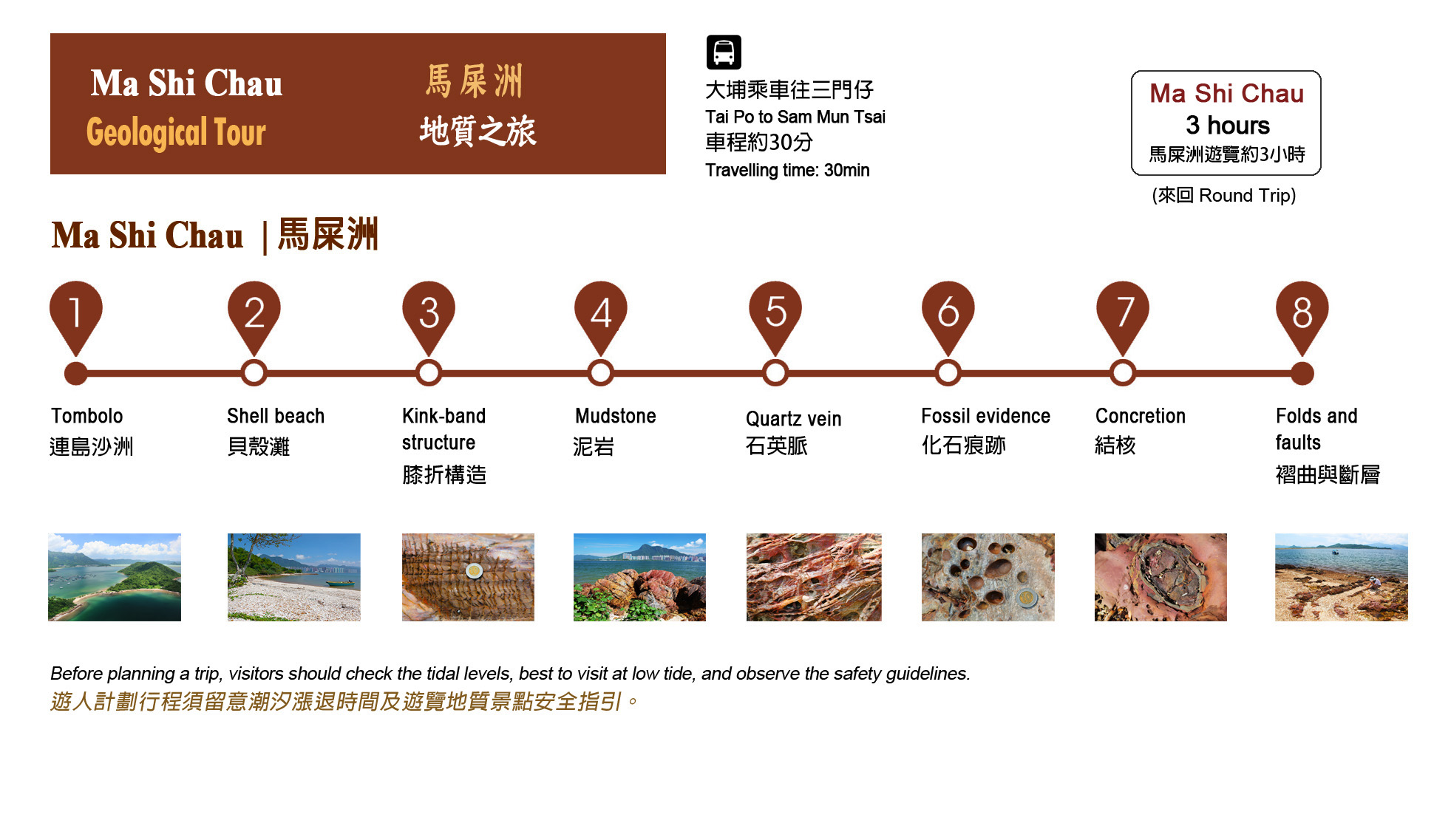
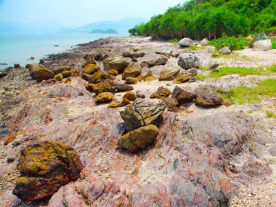
Ma Shi Chau on the southwest shore and Lai Chi Chong on the south shore. Most of the rocks along the north shore of Tolo Channel and at Bluff Head are the oldest in Hong Kong, formed about 400 million years ago during the Devonian Period. Ma Shi Chau presents the sedimentary rocks formed about 280 million years ago; the rocks are the second oldest rocks in the rock region; Lai Chi Chong showcases various volcanic rocks and sedimentary rocks formed about 146 million years ago. These two geo-sites also show distinctive geological features, such as faults and folds. Although the geology of Ma Shi Chau and Lai Chi Chong is a bit complicated, they are the ideal destinations for geologists.
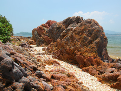
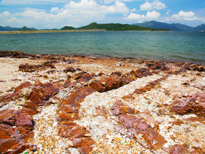
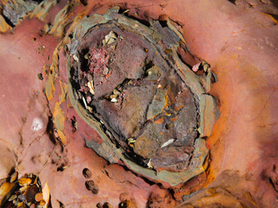
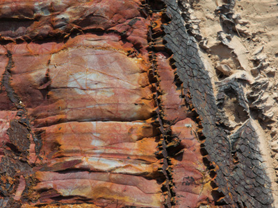
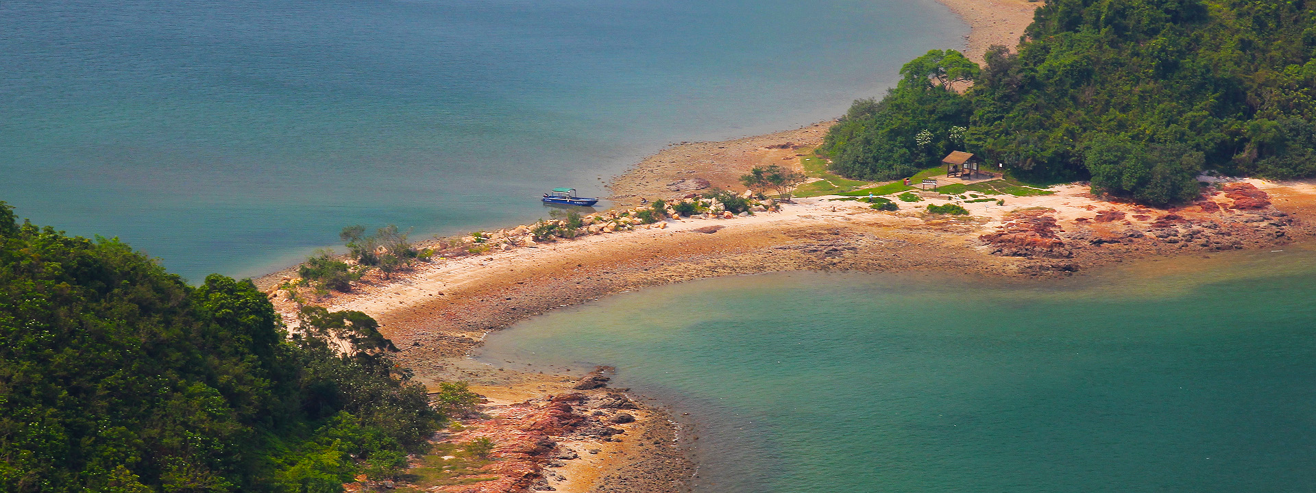
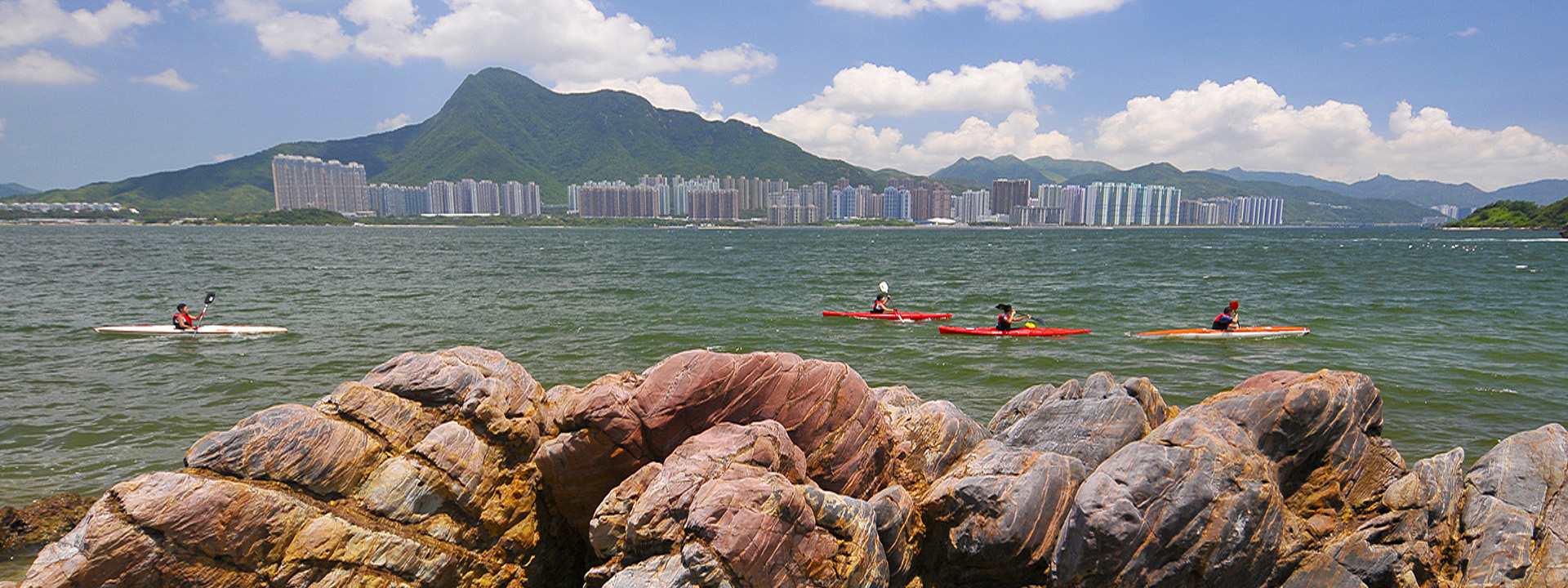
The 61-hectare Ma Shi Chau is made up of Ma Shi Chau, Yeung Chau, Centre Island and an unnamed islet to the northeast of Sam Mun Tsai New Village. Ma Shi Chau is the key site of Hong Kong's Permian Tolo Harbour Formation. Home to well-outcropped rocks, the island is an ideal location for studying strata, rock properties, sedimentation features and different geological compositions because here you can find faults and folds as well as deformed and displaced rock mass. The unnamed islet near Yim Tin Tsai, vegetated with dense woodlands, is a popular roosting ground for egrets and herons. Given such outstanding conservation value, the Ma Shi Chau region was declared a protected Special Area in 1999.
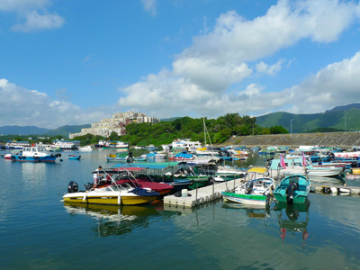
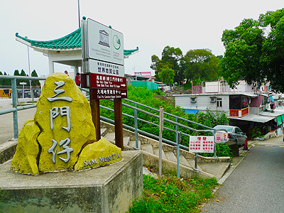
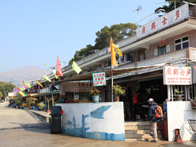
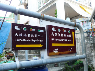
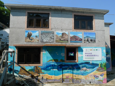
There is a Tai Po Geoheritage Centre in Sam Mun Tsai Village, you should not miss it.
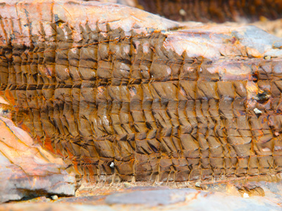
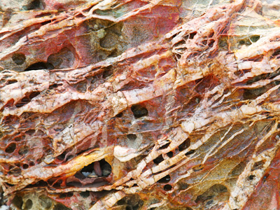
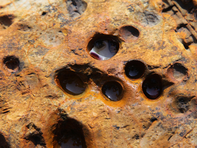
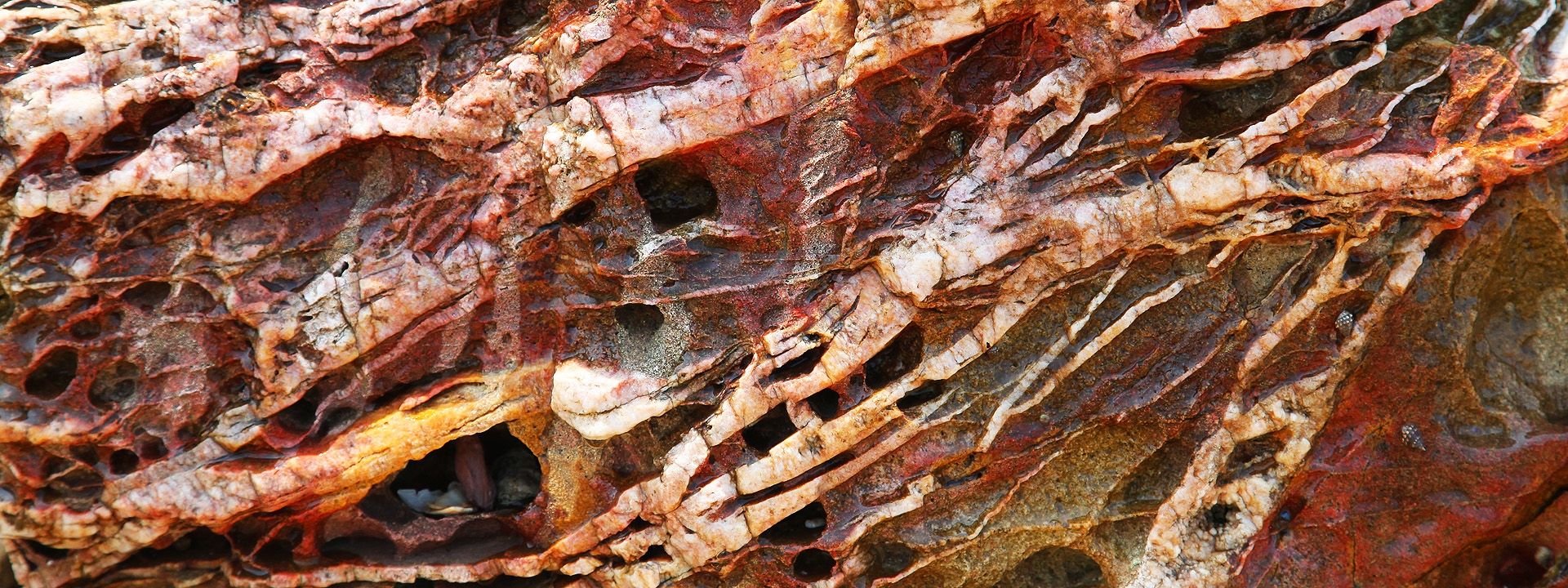
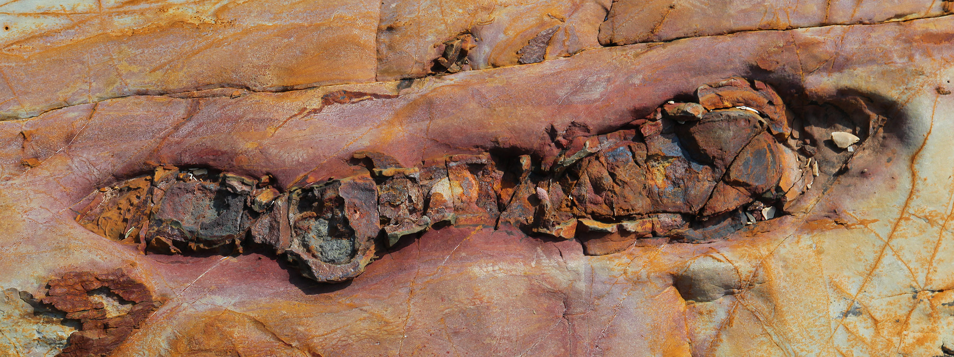
Outcropped strata dating back to the Permian (290,000,000 to 250,000,000 years ago) are extremely rare and isolated in Hong Kong. Tolo Harbour Formation is a particularly prominent example. This formation is mainly distributed across Tolo Harbour and its environs, such as Ma Shi Chau and Centre Island. Ma Shi Chau is a representative showcase of this formation. The well-outcropped rocks on the island are composed of mudstone, siltstone and sandstone deformed by folding . Centre Island to its south is made up of the same rocks. The sandstone there exhibit ripple marks corrugated and flaser-bedding, while the siltstone often manifests bioturbation.
Extensive Permian sedimentary rock layers are not the only geological attraction of Ma Shi Chau. Here on the island, you can also find faults and folds, deformations and displacements. On the northwestern edge, some outcrops are part of the Early Jurassic Tolo Channel Formation. These include dark siltstone, mudstone and Late Jurassic sedimentary breccia, tuff and tuffite.