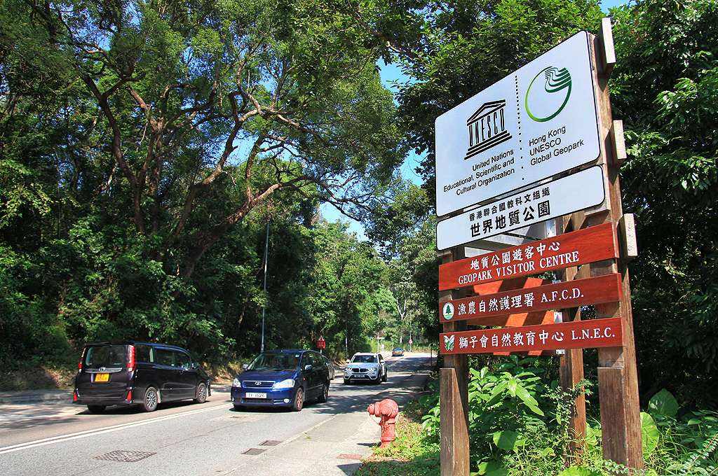
Hong Kong UNESCO Global Geopark
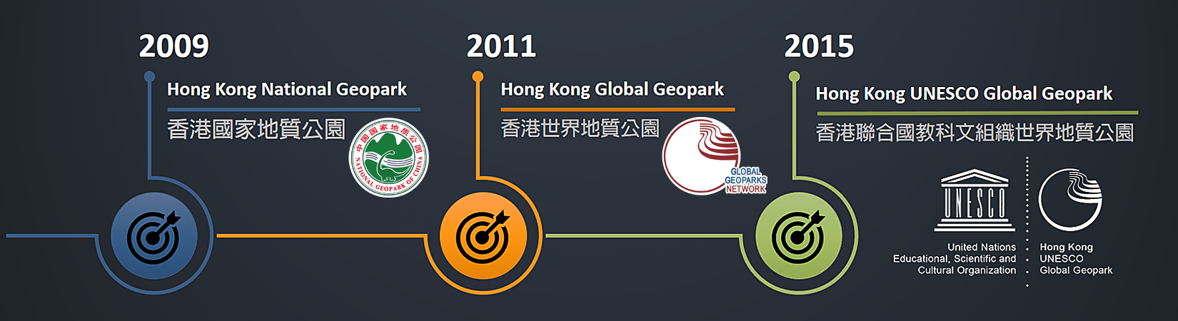
Hong Kong Geopark was officially designated as a National Geopark of China in 2009, and was renamed Hong Kong Global Geopark of China in 2011 when it was accepted as a member of the Global Geoparks Network. With the formalisation of the new “UNESCO Global Geopark” label, Hong Kong Geopark was renamed Hong Kong UNESCO Global Geopark in 2015.
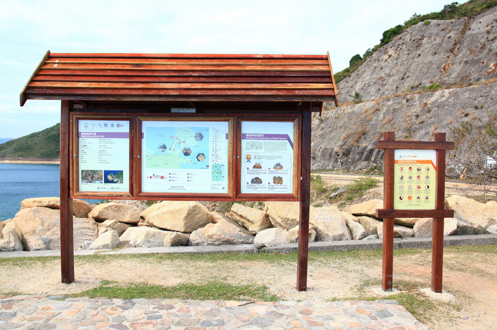
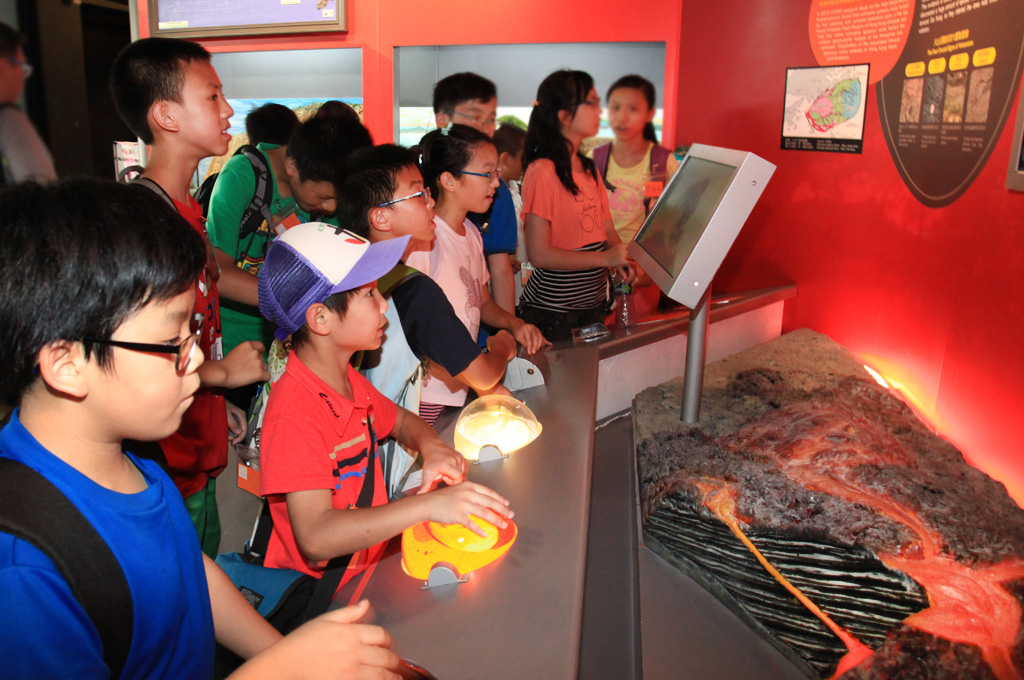
Hong Kong UNESCO Global Geopark is a single entity where sites and landscapes of international significance are managed under the holistic concept of protection, education and sustainable development, with the support of local communities and other stakeholders.
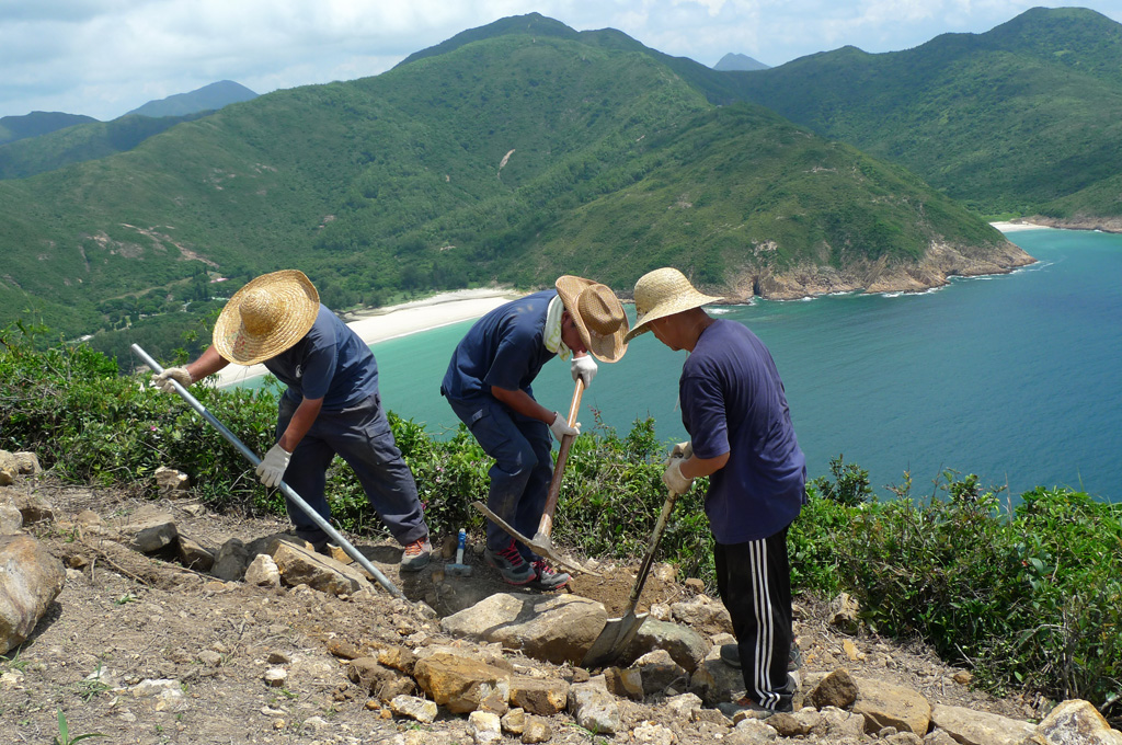
The protected areas of Hong Kong are well-managed by longstanding, well established legal regulations, providing protection to all important geological sites within the geopark. The rich ecology and diverse cultural heritage contained within the geopark greatly enhance the experience of visitors. Local communities have been actively engaged in village revitalization and the development of the geopark.
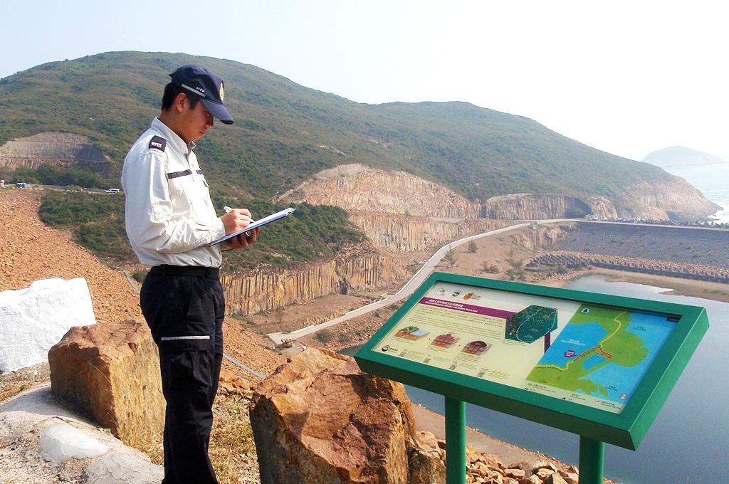
The Agriculture, Fisheries and Conservation Department is the management authority of Hong Kong Geopark, responsible for all aspects of the implementation of the geopark project, including planning, management and visitor services.
Geographical Layout
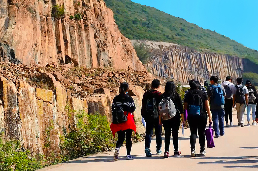
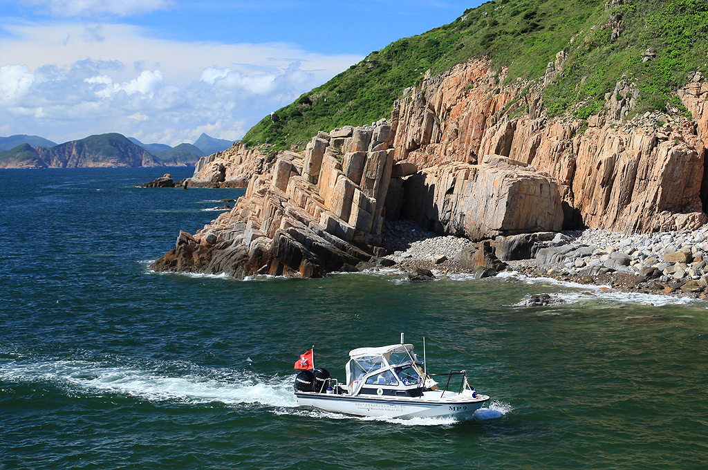
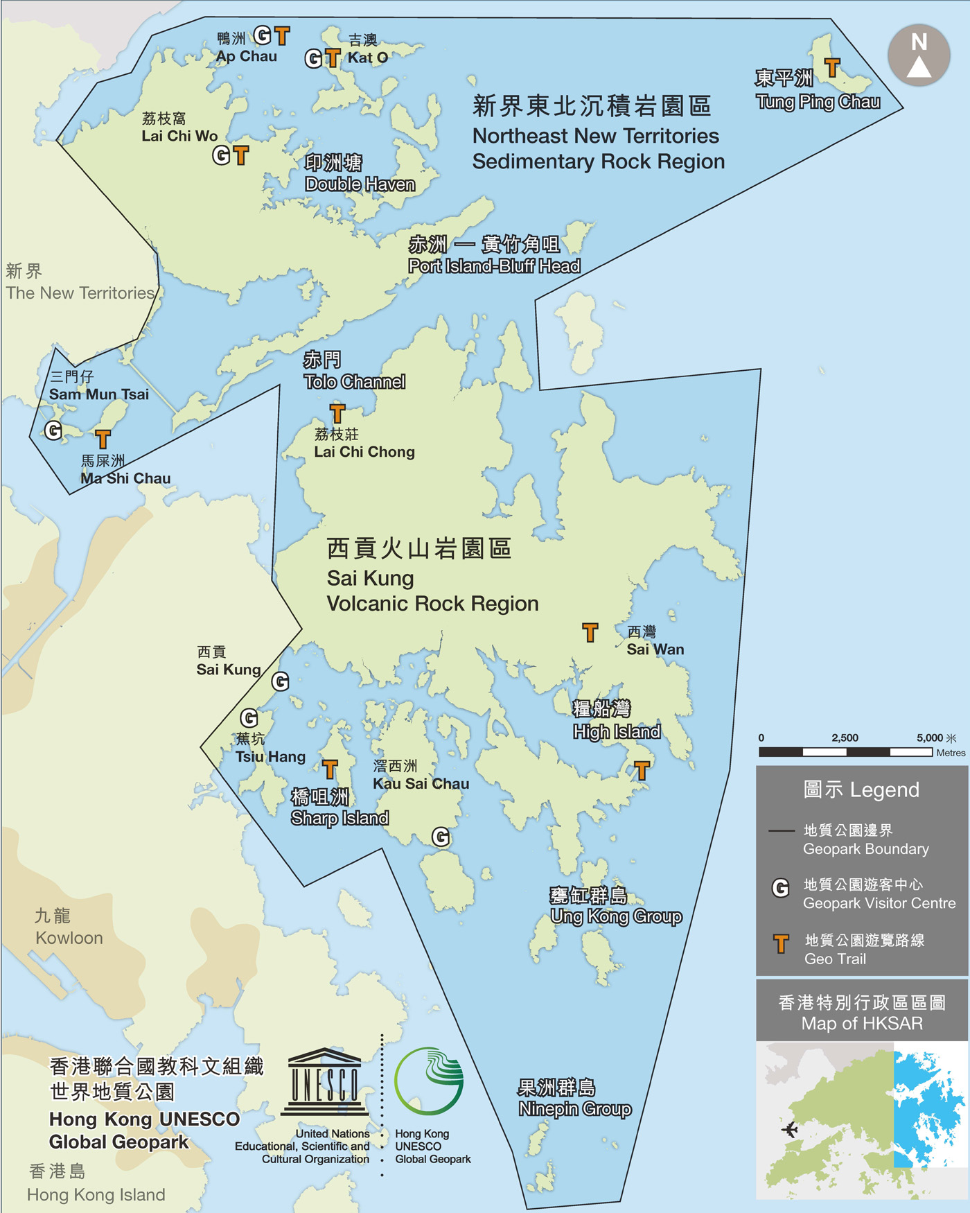
Located in the eastern part of Hong Kong, Hong Kong UNESCO Global Geopark comprises two geological regions within its single, unified boundary: the Sai Kung Volcanic Rock Region and the Northeast New Territories Sedimentary Rock Region.
| Two Regions | Major sites |
|---|---|
| 1. Sai Kung Volcanic Rock Region
Contains a wide distribution of hexagonal rock columns of international significance. |
High Island, Sharp Island, Ninepin Group, Ung Kong Group, Tai Long Wan |
| 2. Northeast New Territories Sedimentary Rock Region
Displays various sedimentary rocks of up to 400 million years old, showcasing the complete geological history of Hong Kong. |
Bluff Head, Double Haven, Lai Chi Wo, Kat O, Ap Chau, Tung Ping Chau, Ma Shi Chau, Lai Chi Chong, Port Island |
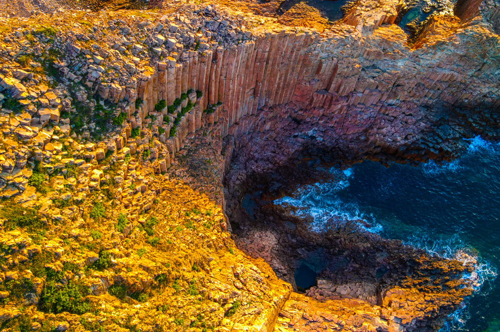
World Class Rock Columns
The rock columns in Hong Kong are composed of light-coloured volcanic rock. With an extensive distribution range of some 100 km2 and an average column diameter of 1.2m, they are considered very rare and valuable on the international scale.
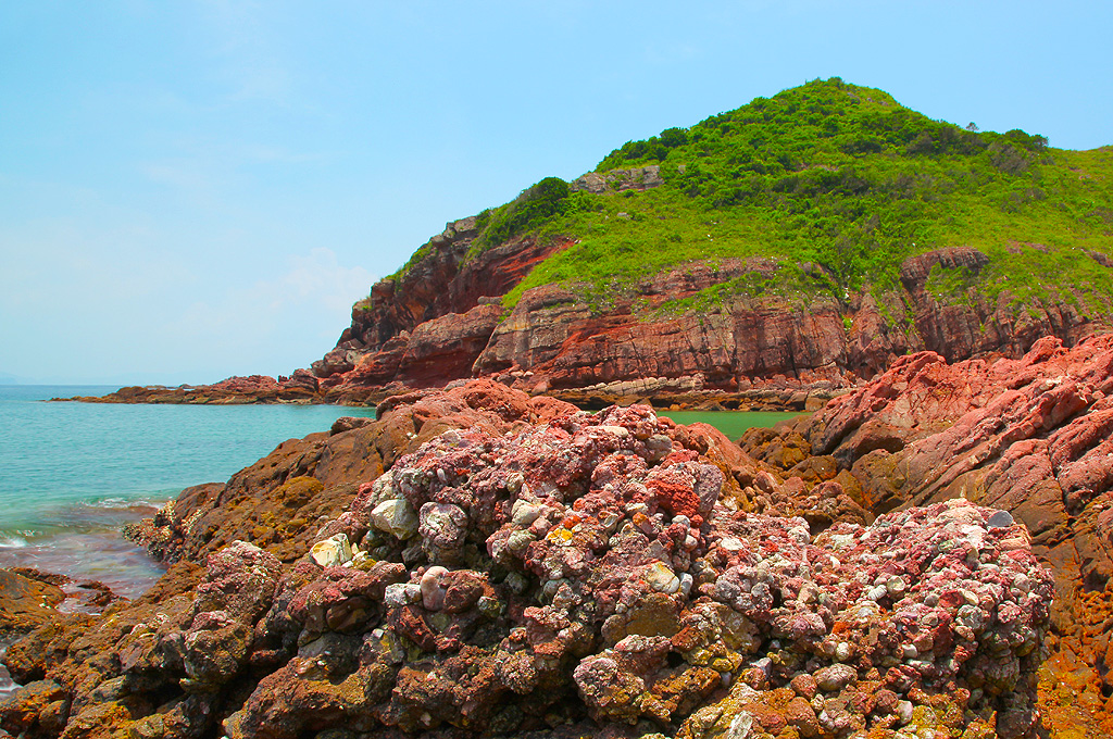
A Complete Collection of Sedimentary Rocks
A wide range of sedimentary rocks are displayed in the geopark, from large-grained conglomerate to fine-grained mudstone, of different colours. Together with fossils, they tell us the geological history and ancient environment of Hong Kong, from 400 to 55 million years ago.
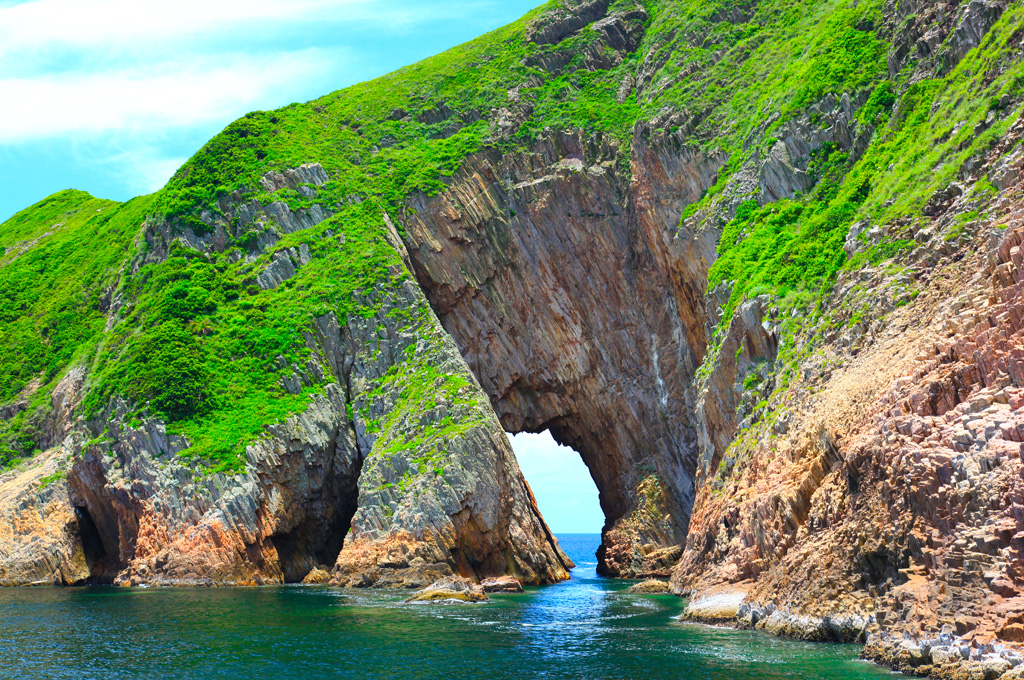
Diverse Coastal Landscapes
Rise of sea level around 8000 years ago created numerous islands and coastlines in Hong Kong. The sea further shapes these islands and coastlines into diverse coastal landscapes, from tranquil beaches and tombolos to spectacular sea arches and sea stacks.
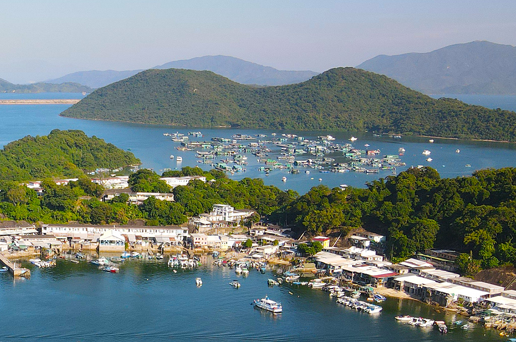
Hakka and Fishermen Cultures
The Hakka and the Fishermen (also called “Boat Dwellers”) are two major ethic groups of indigenous people in the Hong Kong UNESCO Global Geopark. Their unique lifestyles, customs and traditions are all valuable intangible cultural heritages.